Example gallery#
Browse examples visually. Every card links to a runnable notebook that executes offline on the repository's sample data. Prefer a task list? See the "How do I…?" index.
Featured#
-
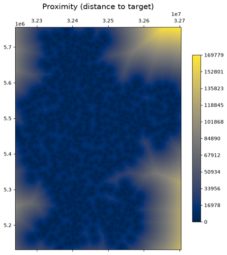
Terrain analysis — slope, aspect, hillshade and proximity from a DEM.
-
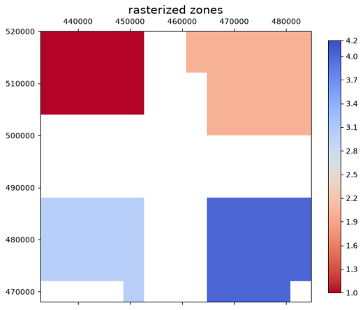
Rasterize ↔ vectorize — burn a vector to a grid and polygonize it back.
-
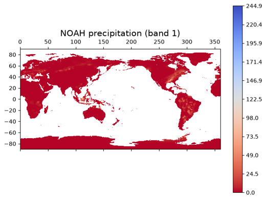
COG with real data — write, validate, inspect and range-read Cloud-Optimized GeoTIFFs.
-
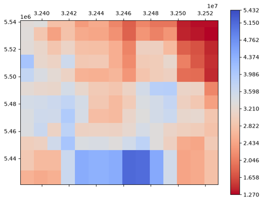
Mosaic & merge — stitch tiles into one raster and stack bands.
-
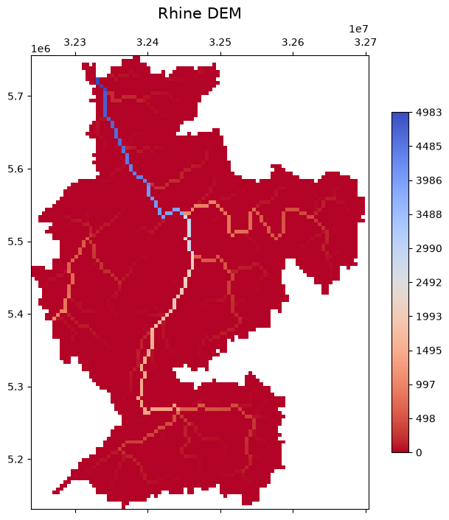
Visualization gallery — images, plots, histograms and colour scales.
-
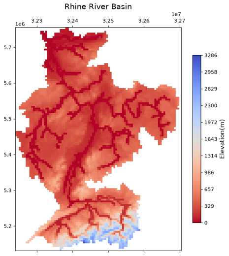
Spatial operations — crop, reproject, resample and align on a real basin.
Browse by theme#
-
Read, write & convert
Dataset basics · GeoTIFF ↔ NetCDF · Collection → NetCDF · Raster formats · Vector formats · Windowed & tiled reads
-
Transform & align
Reproject / resample / align · Crop & mask · Mosaic & merge · No-data & gap filling · Overviews
-
Analyse
Zonal statistics · Extract at points · Terrain analysis · Raster algebra
-
Vector & raster ↔ vector
Rasterize ↔ vectorize · Vector geometry toolkit · Vector tessellation
-
Visualize
Visualization gallery · Colour tables · Basemaps · RGB animation
-
NetCDF · UGRID · datacubes
Dataset collection · UGRID mesh exploration · UGRID river channel
-
Zarr & lazy / Dask
Zarr basics · Zarr cubes · Multiscale pyramids · Dask overview
-
Cloud & STAC
Looking for something specific? The “How do I…?” index maps every task to its notebook.