earthlens#







earthlens is a Python package providing a single, unified API for downloading
satellite, climate, and geospatial data from 61 providers — climate
reanalysis, satellite imagery, ocean models, weather forecasts, natural-hazard
feeds, air quality, biodiversity, population, and more. Pick a data_source, describe the area
and dates you want, and call download(); the matching backend handles auth,
catalog lookup, request shaping, and writing the output.
34 of the spacecraft behind earthlens' providers, drawn on their published orbits. Each trailing band is that instrument's real ground swath, and the trapezoid above it is the sensor's footprint sweeping it out.
The clock counts simulated orbital time at 270× real: the 20-second clip covers 1.5 hours. Earth turns 22.6° in that window and a low orbiter completes about nine tenths of a circuit, which is how its ~90-minute period can be read straight off the screen. The geostationary satellites appear frozen because they are turning at exactly Earth's rate, holding station over the same ground.
Supported data sources#
Every backend is reached through the same EarthLens facade by passing its key
as data_source=.
| Domain | Provider (data_source key) |
|---|---|
| Climate & weather | Climate Hazards Center — CHIRPS / CHIRTS / SPI / SPEI (chc) · ECMWF Copernicus CDS (ecmwf) · Open NWP forecasts — GFS / ICON / ECMWF Open Data (nwp) · CMIP6 climate projections (cmip6) · NOAA PSL teleconnection indices (climate-indices) |
| Satellite imagery & EO platforms | Google Earth Engine (gee) · STAC — Planetary Computer / Earth Search / CDSE (stac) · Sentinel Hub server-side render (sentinel-hub) · openEO server-side processing (openeo) · EUMETSAT Data Store (eumetsat) · NASA Earthdata (earthdata) · Alaska Satellite Facility SAR (asf) · JAXA Earth observation (jaxa) · NOAA GOES-R ABI (goes) |
| Ocean & marine | Copernicus Marine — CMEMS (cmems) · Argo float profiles (argo) · ERDDAP servers (erddap) · Bathymetry — GEBCO / ETOPO (bathymetry) · OBIS marine occurrences (obis) |
| Cloud-hosted archives | AWS Open Data — ERA5 / Sentinel-2 / Copernicus DEM / ESA WorldCover (amazon-s3) |
| Natural hazards & events | GDACS disaster alerts (gdacs) · FDSN earthquakes (fdsn) · FIRMS active fires (firms) · Tropycal cyclone tracks (tropycal) · NEXRAD radar (radar) · Risk indicators — ThinkHazard! / INFORM / GFW (risk-indicators) · Drought — USDM / EDO / GDO / SPEIbase (drought) |
| Air quality | OpenAQ — global aggregator (openaq) · AirNow — US/Canada EPA (airnow) · EEA — Europe (eea-aq) · Sensor.Community — crowdsourced (sensor-community) |
| Population & settlement | JRC Global Human Settlement Layer (ghsl) · WorldPop (worldpop) |
| Hydrology | USGS Water — NWIS (usgs-water) · NOAA National Water Model (nwm) |
| Terrain, soil & cryosphere | Copernicus DEM (dem) · ISRIC SoilGrids (soilgrids) · Glaciers — RGI / GLIMS / WGMS (glaciers) |
| Energy resource | PVGIS — EU JRC (pvgis) · NREL NSRDB / WIND Toolkit (nrel) · Global Solar & Wind Atlas (solar-wind-atlas) |
| Biodiversity & conservation | GBIF species occurrences (gbif) · IUCN Red List (iucn) · Protected Planet — WDPA (wdpa) |
| Vector, admin & humanitarian | Overture Maps basemap (overture) · OpenStreetMap features (osm) · Administrative boundaries (admin) · Humanitarian Data Exchange — HDX (hdx) |
graph LR
    EarthLens --> Climate["Climate & weather<br/>chc · ecmwf · nwp<br/>cmip6 · climate-indices"]
    EarthLens --> Imagery["Satellite imagery<br/>gee · stac · sentinel-hub · openeo<br/>eumetsat · earthdata · asf · jaxa · goes"]
    EarthLens --> Ocean["Ocean & archives<br/>cmems · argo · erddap<br/>bathymetry · obis · amazon-s3"]
    EarthLens --> Hazards["Hazards & events<br/>gdacs · fdsn · firms · tropycal<br/>radar · risk-indicators · drought"]
    EarthLens --> People["Air, population & water<br/>openaq · airnow · eea-aq · sensor-community<br/>ghsl · worldpop · usgs-water · nwm"]
    EarthLens --> Earth["Terrain, soil & energy<br/>dem · soilgrids · glaciers<br/>pvgis · nrel · solar-wind-atlas"]
    EarthLens --> Life["Biodiversity<br/>gbif · iucn · wdpa"]
    EarthLens --> Vector["Vector, admin & humanitarian<br/>overture · osm · admin · hdx"]
See Supported providers for the full matrix, and the per-provider pages under Data Sources for catalogs, authentication, and usage.
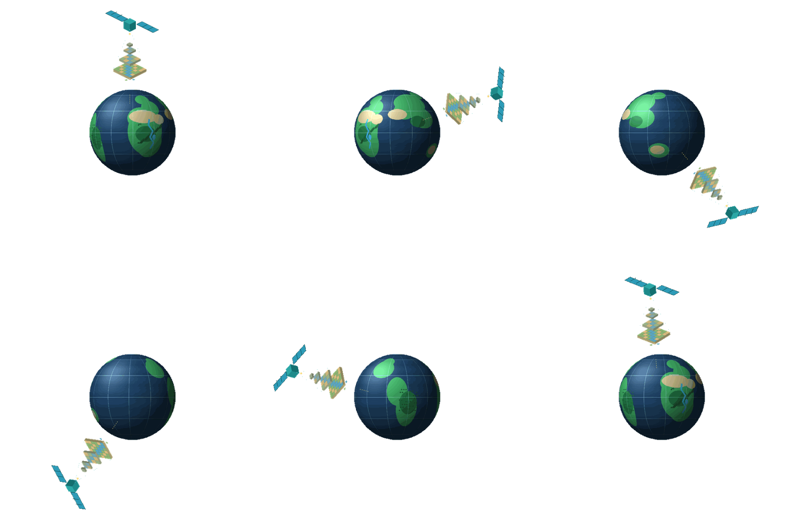
A satellite captures Earth-observation data, which resolves down through a pyramid of raster overview
tiles — the pyramids lineage — onto a living globe.
The name is the story: earth + lens.
Quick Start#
from earthlens.core import EarthLens

earthlens = EarthLens(
    data_source="chc",
    temporal_resolution="daily",
    start="2009-01-01",
    end="2009-01-10",
    variables=["precipitation"],
    lat_lim=[4.19, 4.64],
    lon_lim=[-75.65, -74.73],
    path="examples/data/chirps",
)
earthlens.download()